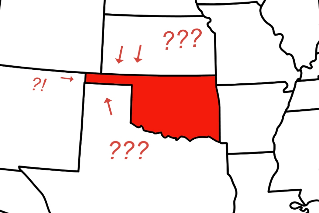
What’s up with Oklahoma’s salient? More popularly known as the Panhandle, the three counties extending in a row west of the rest of the “pan” of the state are one of those geographical quirks of history that really jump off of the map. The Panhandle is also the location of the only county in the country with four states on its borders: Cimarron County, the westernmost part of the state, borders Colorado, Kansas, Texas, and New Mexico.
Today fewer than 1% of Oklahomans live in the 168 x 34 mile-wide strip. It was Spanish territory until 1821, when it became part of independent Mexico. The Republic of Texas claimed it when declaring independence. But then, upon entering the Union as a slave state in 1845, Texas surrendered its claim to the region because slavery was prohibited north of 36°30′ latitude by the Missouri Compromise of 1820. 36°30′ became the Panhandle’s southern boundary. Its northern border at 37° was set in 1854 by the Kansas-Nebraska Act, which repealed the Missouri Compromise and allowed Kansas and Nebraska to decide for themselves if they would be slave or free.